
Delhi Township Postal Coverage
Delhi Township is a charter township, not a postal city. Its 28.5-square-mile area has an unincorporated Holt center, a northern edge shaped by earlier Lansing annexation, and rural southern addresses that can carry another postal label. The verified examples below show why a Delhi Township postal directory should be read as a set of address examples, not as a complete township map. The research did not locate an official parcel-by-parcel USPS or Michigan GIS polygon for every ZIP serving Delhi Township.
| ZIP code | Areas covered by official examples | Post office or route | Delhi Township research note |
|---|---|---|---|
| 48842 | Holt; the township services center; Holt Presbyterian and Holt United Methodist polling locations | Holt Post Office, 2190 Aurelius Road | Strong central township postal example; verify each full address with USPS |
| 48911 | Unity Center and Bishop Road addresses on an official township notice | Lansing-area delivery route | A Lansing postal label can occur in a Delhi-related service or polling area |
| 48854 | Southern rural township-area examples, including West Howell | Mason-area route | Postal label differs from Delhi Township civil jurisdiction |
| 48821 | Dimondale-area ZIP appears in comparative local-service material | Dimondale-area route | Exact Delhi parcel coverage was not located in official text sources |
These four entries are verified examples and documented gaps, not an authoritative count of every Delhi Township postal area. A full Delhi Township address check remains necessary, especially near the township edges. Note: a USPS ZIP result confirms delivery geography, not a person or company identity.
Delhi Township Postal Examples
Holt 48842 is the best-documented Delhi Township postal area. Official township material places the services center at 2074 Aurelius Road and several Holt polling locations within that ZIP. The Holt Post Office listing identifies the office at 2190 Aurelius Road, Holt, MI 48842-9998, with retail hours Monday through Friday from 9 to 5:30 and Saturday from 9:30 to 2:30. USPS lists its customer-service number as 800-275-8777.
The Holt Post Office result is the source for the Delhi Township postal image below.
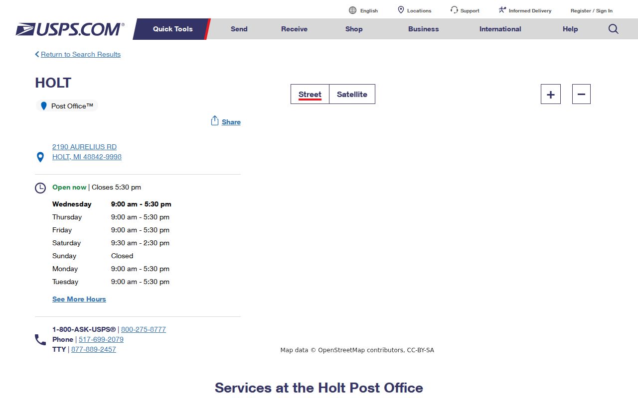
The image supports the Delhi Township 48842 postal example. It does not define a Delhi Township boundary or establish where an individual resides.
The other verified labels explain the caution. Delhi Township material uses Lansing 48911 examples in a Delhi-related service area, and southern Delhi Township material uses Mason 48854. The research also found a Dimondale-area 48821 reference but no official text source that exposes its exact Delhi Township parcel coverage. A Delhi Township postal directory therefore needs an address-level check, not a generic four-number list.
Delhi Township Postal Checks at USPS
The USPS ZIP Code Lookup Tool is the first official check for a Delhi Township address. Its By Address mode asks for an optional company name, a required street address, a required city, and a required state. Other modes cover City and State and Cities by ZIP. Use the Delhi Township physical street address and state, then retain the returned postal city and ZIP exactly as USPS supplies them. The USPS notice says the result does not confirm a person or company identity.
| By Address | Enter a street address, city, and state for a delivery ZIP result. |
|---|---|
| By City and State | Use a place name as a starting point, then narrow to a full address before treating the result as parcel-specific. |
| Cities by ZIP | See the postal city relationship for a ZIP; this is not a township-boundary tool. |
| Locations search | Search City and State or ZIP, then filter for Post Office, collection box, kiosk, contract unit, or other listed type. |
The USPS locations search is the source for the location-search image.
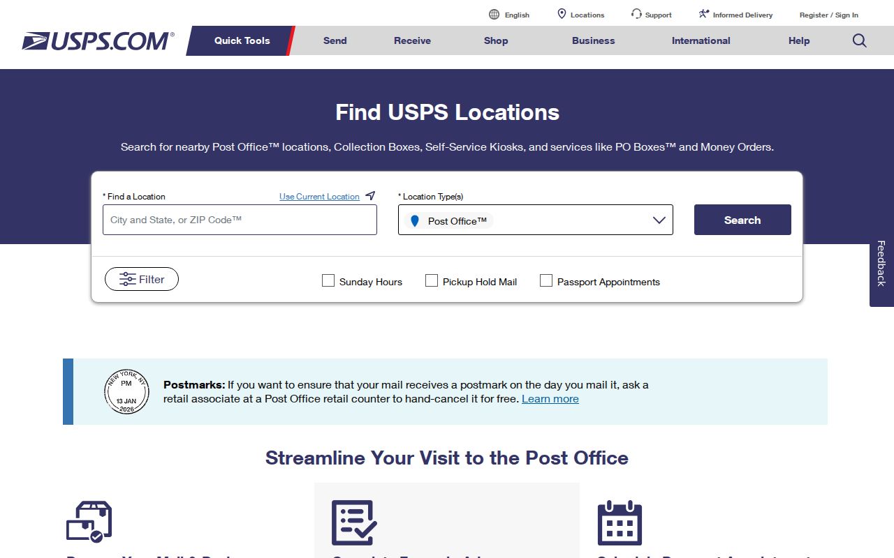
Use the Delhi Township location result to find postal service, then return to a Delhi Township parcel record for civil geography. Postal service tools do not replace Delhi Township mapping.
Delhi Township Parcel Searches in BS&A
Delhi Assessing’s free BS&A Online portal is the property-record step after USPS verifies an address. The inspected Delhi interface exposes address text, a street-number range, owner or name, parcel number, tax, building, utility, and related record routes. It did not expose a ZIP filter in the text inspection. That limit matters: do not claim that a ZIP-wide BS&A search is available until the Advanced Address Search is confirmed in a live browser.
| BS&A field | Type | When used | Postal-search limitation |
|---|---|---|---|
| Record focus | Navigation or dropdown | Choose a Delhi Township Assessing, Building Department, Tax, Utility Billing, or other listed route | Not a ZIP selector |
| By | Dropdown | Select Delhi Township Address, Name, Parcel Number, Utility Billing Account Number, or listed receivable identifiers | No exposed ZIP choice |
| Street Address | Conditional text | Enter the USPS-verified Delhi Township physical address | Address-based rather than ZIP-wide |
| Street Number to | Optional text | Create a Delhi Township number range for a street segment | Can narrow an address band, not a postal polygon |
| Advanced Address Search | Link | Additional Delhi Township address controls may be available | ZIP was not visible in the inspected text |
The Delhi Township assessor can inspect records by appointment or walk-in at 2074 Aurelius Road, Holt, and lists 517-694-1502. The Delhi Township office says responses are generally within one business day. A parcel’s owner or taxpayer, mailing address, and situs address are separate facts. None alone proves who currently occupies the Delhi Township parcel.
Finding Delhi Township Residents by ZIP Code
A Delhi Township postal workflow works from a verified address toward the records that actually index a parcel or person. Tax and property files used for Delhi Township are keyed to parcel or situs rather than a postal boundary. Michigan’s voter tool is a personal registration-status service, not a public ZIP-wide roster. Its public-record and FOIA rules also protect or redact identifiers such as driver-license or state-ID numbers, month and day of birth, phone, email, and signatures.
- Check the full Delhi Township address with USPS and write down the returned postal city and ZIP.
- Search the verified Delhi Township physical address in BS&A, or use its street-number range when an address band is needed.
- Record the Delhi Township situs address, parcel number, legal description, and owner or taxpayer as distinct fields.
- Use the Delhi Township GIS as a planning reference for the parcel, then confirm civil-boundary questions with the assessor or county GIS.
- For a person’s own registration details, use the Michigan Voter Information Center; use the SOS FOIA route only for the public, redacted record categories it permits.
After a ZIP has narrowed the area, the Delhi Township street directory provides the address-by-address record trail. It is the better route for parcel, deed, permit, and historical street work.
Delhi Township ZIP Code Boundaries and City Limits
Postal boundaries and Delhi Township limits answer different questions. USPS assigns delivery geography. A civil township is a government boundary. Holt is an unincorporated community, not a city or village. Delhi Center was renamed Holt in 1860. The northern approximately third of Delhi Township was annexed to Lansing in the early 1960s, carrying North Cemetery, North School, and the Miller Road Community into that later history.
A Lansing 48911 label cannot by itself establish that an address is inside the City of Lansing. Likewise, Holt 48842 does not establish a municipality called Holt, and a Mason 48854 label does not remove a parcel from Delhi Township. Delhi Township’s community history is the source for the locality and annexation context shown in the associated image.
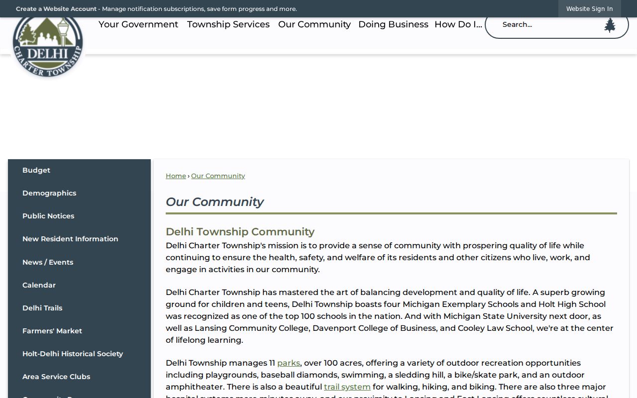
The Delhi Township history context explains why an old record can use Delhi, Holt, Lansing, or a county label. Match the Delhi Township date, parcel, street, and legal description before treating names as equivalent.
Delhi Township Postal Terms
Postal terms are useful only when their limits are clear. A Delhi Township record may carry a situs address, a mailing address, a legal description, and a USPS label at once. In Delhi Township, the situs is the physical parcel location. The mailing address receives tax correspondence and can be outside the parcel’s ZIP. A Delhi Township legal description is the land identity used in deeds and may remain stable through a street-name or number change.
- ZIP and ZIP+4
- A ZIP identifies a postal delivery area. ZIP+4 adds a more specific delivery segment; neither establishes a civil boundary or resident identity.
- PO-box ZIP
- A postal ZIP assigned for box delivery. It should not be treated as the location of a home or parcel.
- Unique ZIP
- A ZIP used for a single organization or delivery arrangement. No verified Delhi Township unique ZIP was located in the research.
- Carrier route
- A postal delivery grouping. It can aid mail sorting but is not a parcel map or a directory of people.
Delhi Township Postal Geography in Numbers
Delhi Township’s official profile describes 27,710 residents in 2020, up from 13,795 in 1970, and calls Delhi the fourth-largest Ingham jurisdiction. The same Delhi Township profile lists 11,214 households and an average household size of 2.4. Those figures explain why the Delhi Township area spans several postal labels and local service areas. They do not divide people by ZIP, establish a ZIP boundary, or identify anyone at an address.
The Delhi Township geographic frame is also physical. Delhi Township reports roughly 28.5 square miles, bounded approximately by Nichols Road to the south, Waverly Road to the west, College Road to the east, and a northern jog involving Jolly Road, Willoughby Road, and I-96. Postal geography cuts across that Delhi Township civic shape. The four documented ZIP examples are therefore a research starting point, not a substitute for an address verification.
Delhi Township Postal Fallbacks
When the Delhi Township postal result is incomplete, use a short fallback chain. First, repeat the USPS address check with the full street address. Next, compare the address in BS&A and the township GIS. The GIS page says its parcels, boundaries, dimensions, zoning, wetlands, flood information, and parks layers are generalized planning references and that accuracy is not guaranteed. For an error or a boundary question, contact Community Development, Delhi Assessing, or Ingham County Equalization rather than relying on a screenshot.
For a historical address, add the Register of Deeds legal description, the CADL directory collection, maps, and a dated newspaper or yearbook where appropriate. Lansing-area street numbers changed between the 1867-1883, 1885-1905, and post-1906 numbering systems, and the 1913 Sanborn maps show dual numbers. Delhi Township records may also shift to Lansing custody after the northern annexation. That is why a ZIP alone cannot settle a historical address question.